










Eturnity and Airclip: Precise roof planning with photogrammetry
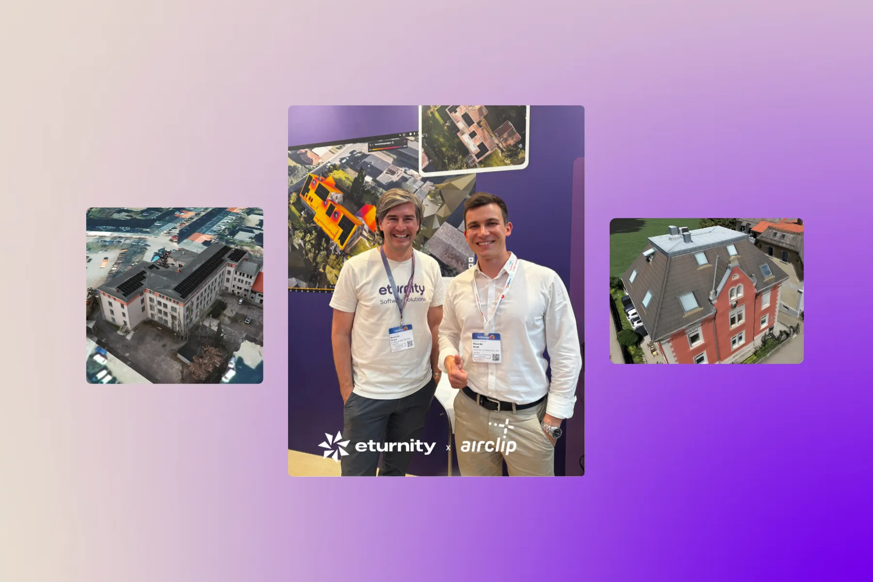
A new partnership for a new generation of solar planning
The planning of photovoltaic systems stands or falls with the quality of the building data. Inaccurate roof dimensions, missing information about rooftop structures or estimates based on satellite images often lead to rework, delays and unnecessary costs.
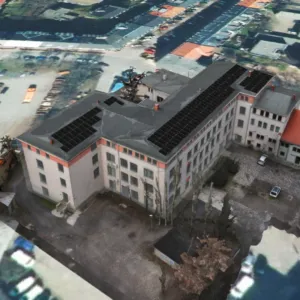
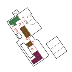
That is why Eturnity is extending its planning platform with a powerful new photogrammetry add-on. Together with its technology partner Airclip, Eturnity now makes it possible to create highly precise 3D roof models from drone imagery. The result: a digital twin of the building that can be used directly for technical planning in Eturnity.
👉 More about the photogrammetry add-on
What is photogrammetry?
Photogrammetry is a method for measuring buildings and objects based on image data. Drone flights photograph roofs from different perspectives, and specialised software calculates exact three-dimensional models from these images.
These digital twins provide far more precise information than manual estimates or aerial images and form the ideal basis for planning photovoltaic systems.
From the drone to the digital twin
The collaboration between Eturnity and Airclip makes the entire process particularly simple:
- The building is captured by drone.
- Airclip processes the image data into a highly accurate 3D roof model.
- Orthophotos and other relevant building data are provided as well.
- The data can be imported directly into Eturnity and used for technical planning.
Within a short time, this creates a complete digital twin of the building, ready for the next steps of the project.
The benefits for solar installers
Maximum precision for technical planning
Instead of relying on estimates, planners work with roof geometries that have actually been measured. Roof surfaces, pitches, edges and rooftop structures are captured far more accurately.
Less rework and fewer planning corrections
The more precise the source data, the lower the risk of deviations between planning and reality. That saves time during the project and reduces costly adjustments.
Seamless integration into Eturnity
The photogrammetry add-on fits directly into existing Eturnity processes. The data generated is immediately available for technical planning.
Faster project delivery
Because no time-consuming on-site surveys are required, projects can be prepared and completed more quickly.
Flexible use as needed
Billing is per project. Companies can use photogrammetry exactly when the highest data quality is required.
An easy start
Video tutorials and support help teams integrate the new possibilities into their daily work quickly.
Why the partnership between Eturnity and Airclip is so valuable
The energy transition is increasing the pressure on solar companies to deliver projects more efficiently and more precisely at the same time. This is exactly where the collaboration combines the strengths of both companies.
While Eturnity supports the digital planning and design of energy and solar solutions, Airclip contributes its expertise in creating precise 3D building models. Together they create a continuous process, from data capture through to the finished plan.
For solar installers, this means fewer breaks between systems, faster workflows and a significantly higher planning quality.
The future of PV planning starts with precise data
With the new photogrammetry add-on, Eturnity and Airclip are taking an important step towards digital, data-based solar planning. Highly precise 3D roof models, short processing times and direct integration into existing workflows enable a new quality of technical planning.
Anyone who wants to deliver PV projects more efficiently, more precisely and more professionally benefits from a solution that combines state-of-the-art drone technology with intelligent planning software.