









Airclip
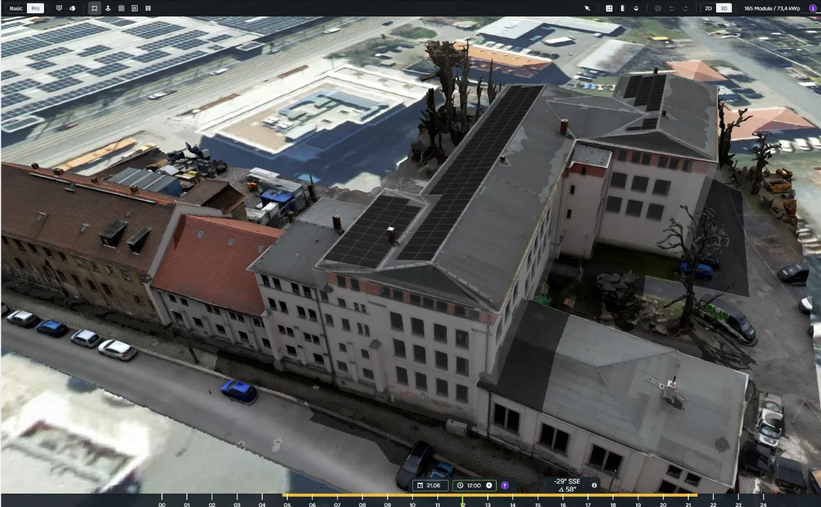

Reliable roof data from drone flights
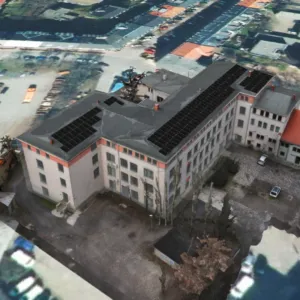
Airclip converts drone photos into accurate 3D roof models that can be used directly for solar planning. Installers fly the building, upload the images, and receive a processed 3D model in less than 1 to 3 hours depending on their size. The model shows roof geometry, edges, and structures clearly: planning-ready data you can work with.
Airclip × Eturnity
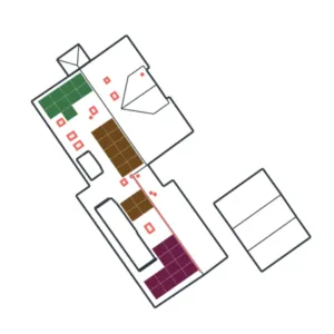
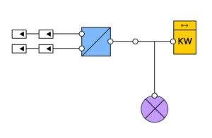
For installers, this partnership opens up the possibility to plan with drones. You can plan systems earlier, spot issues before installation, and send out offers that are based on real geometry instead of assumptions. Airclip’s 3D models can be uploaded directly into Eturnity, so you don’t need to redraw roofs, estimate dimensions, or rebuild the site by hand. In short: Airclip captures the site, Eturnity turns it into a solid PV plan.
Read all about Photogrammetry with Airclip here.